Rebuild a city's real network
Many players rebuild the buses, trams, metros and trains a city really has. Every game starts with no public transport, so you draw the real lines yourself. One map style shows you where they are.
See the real stops and tracks
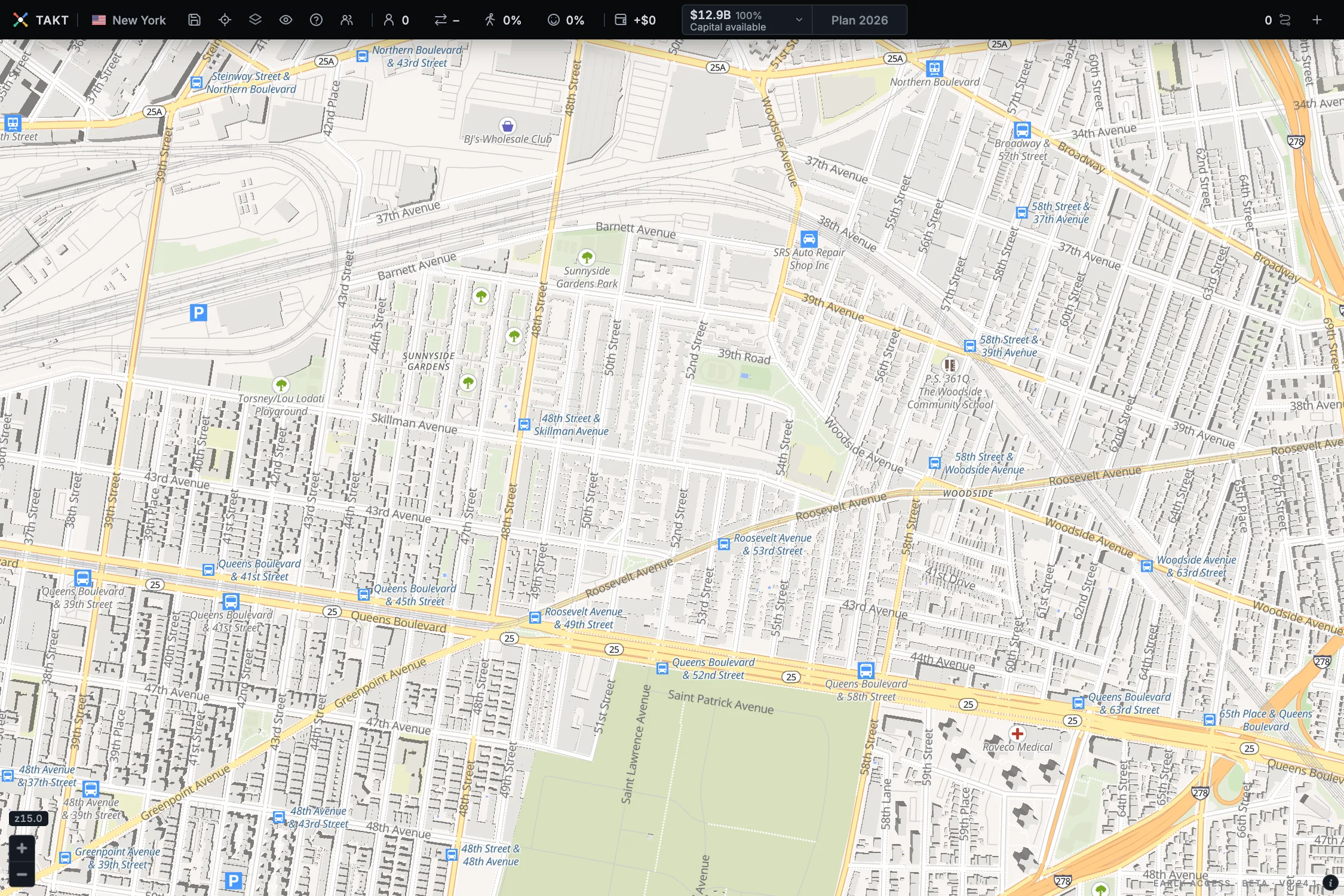
- Click the eye icon in the top bar.
- Under Style, choose Liberty 3D.
- In the map tools, turn off Demand streets and City requests. The real stops and tracks are then easier to see.
- Zoom in until the stop names show.
A blue bus icon is a bus stop, with its name. A blue train icon is a station. Thin grey lines are railway and metro tracks on the ground or on a viaduct. A line in a tunnel is harder to see, so follow its station icons.
The map comes from OpenStreetMap. It is only a look: the real lines are not part of your game until you build them. Choose your usual style again in the same menu.
Draw your line on top of the real one
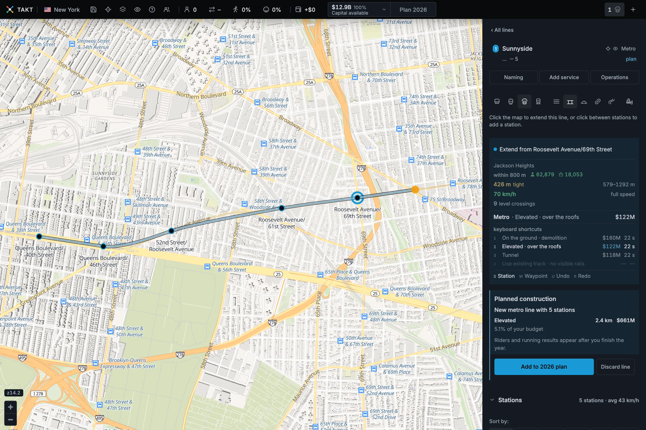
Choose the kind of line the real one is. A subway is a metro, a regional train is a railway. Then click the real stations in their order.
A metro or railway station stands exactly where you click. Zoom in and click the station icon. Bus and tram stops move to the nearest street they can use.
Choose the level the real line uses before you draw each section. The 7 train runs above the street, so it is Elevated (key 2). An underground line is a Tunnel (key 3).
Follow the real tram tracks
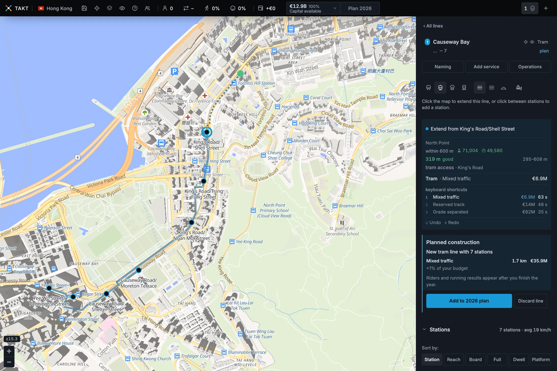
In Hong Kong and Amsterdam, trams can use the real tram tracks. The card says tram access there. Lay a tram line explains the tram corridors.
In the other cities, a tram needs a local road or bigger. Why the tram takes another route explains what happens on a small street.
Match the real level and the crossings
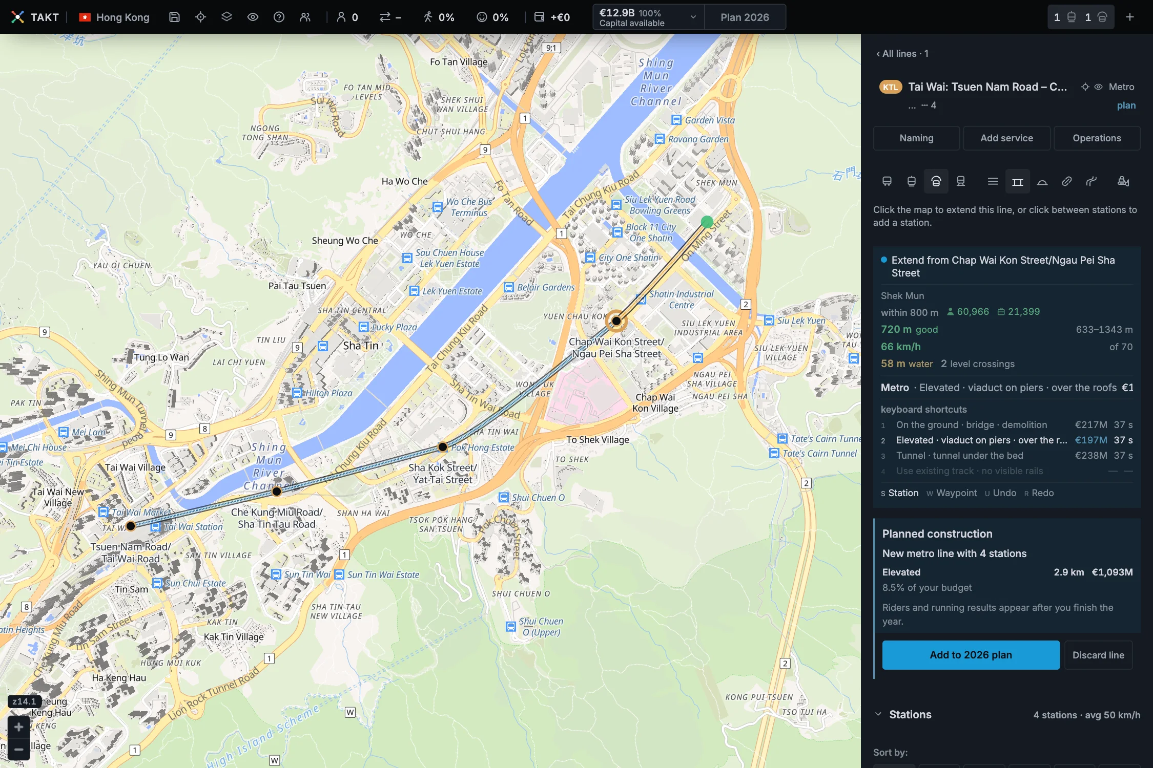
The card shows what the real line has to cross. Water, buildings and roads change the price of each level. Compare the three prices before you click.
A real line may run on the ground in one place and in a tunnel in the next. Choose the level for each section, as the real line does.
Where the game differs from the real city
| What you see | Why |
|---|---|
| The card says tight or too close between real stops. | Real stops are often closer than the game's ideal gap. You can copy them. Fewer stops make a line faster. |
| A metro curve is refused: "Too tight for a metro". | A metro curve needs a radius of at least 90 metres. Place a waypoint, or move the station a little. Keep the curves wide explains how. |
| A tram takes another street than the real one. | Outside Hong Kong and Amsterdam, a tram runs only on local roads or bigger. |
| The button says Not enough capital. | A real network costs far more than the first budget. The five stations of the 7 train in the picture cost $661M. |
To build without the budget limit, turn on Sandbox mode. Use the Dashboard shows where. Without it, build the real network over several years.
Real lines also have real timetables. Set how often each line runs with its takt chart. Set the takt explains how.
Finish the year to see how your copy of the real network works. The results show where people ride, and where they still drive.